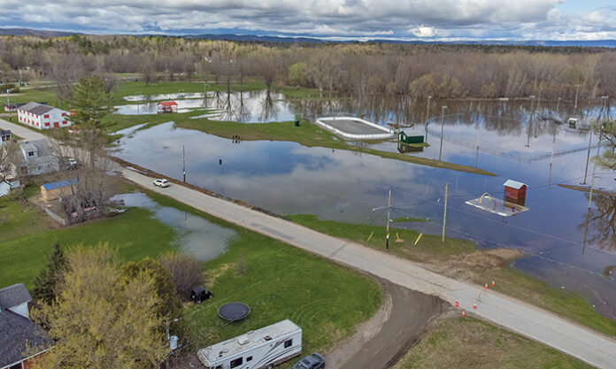
New flood regs passed, but maps still missing
Mélissa Gélinas
Local Journalism Initiative
Published in the Pontiac Journal on July 17, 2025.
QUEBEC – On June 12, the Quebec government adopted a modernized regulatory framework for flood zones, introducing a new risk management approach.
The goal is to better prepare Quebecers for flooding. The system relies on next-generation, cutting-edge mapping that will serve as a key tool for sustainable land-use planning and for informing citizens about potential risks. The maps will be available starting March 1, 2026, through a government portal.
These maps will show four levels of flood risk intensity, each represented by a different colour: dark red for very high risk, red for high risk, orange for moderate risk, and yellow for low risk.
The new regulations will define which activities are allowed in each type of zone. “For example, rebuilding a residential structure after a flood would be permitted in an area mapped as low risk but prohibited in an area classified as very high risk,” explained Josée Guimond, spokesperson for the Ministry of Environment.
Experts will assign risk levels using a chart that considers both the likelihood of flooding—ranging from 100% to 7% over a 25-year period—and the potential depth of water. “The effects of climate change are also taken into account,” Guimond added.
Pontiac MNA André Fortin acknowledged that the new maps represent an improvement over earlier versions, but he criticized the government’s approach. “These maps should have been made available before any discussion of the regulations,” he said. “As it stands, it’s backwards—we’re publishing the rules before the maps.”
According to Fortin, this will leave residents unsure whether they’re affected by the changes, making it impossible to contest them. “No one will be able to challenge the regulations because they won’t know if their property is included or not,” he said. “We’re asking the government to reverse its approach.”
Fortin also raised concerns about the absence of any process allowing citizens to contest the new flood zone designations. “This map doesn’t reflect reality,” he said. “It’s not the first time the government has released flood maps with errors. People living atop cliffs have found themselves included in flood zones.”
He noted that nearly all of Fort-Coulonge and Quyon now fall within mapped flood zones. “That’s why it’s essential to have a way to challenge the designations. Mistakes will happen—it’s normal—but there needs to be a way to correct them,” he added.
Pontiac Warden Jane Toller pointed to improvements in how construction and renovation are handled in flood-prone areas. She explained that new construction will not be allowed in high-risk zones, but it will still be possible to raise a house, modify access points, or relocate a central heating system out of the basement.
“Many of us who were flooded in 2019 expected property values to decline, but that hasn’t happened,” Toller said. “Waterfront properties in the Pontiac continue to gain value.”


